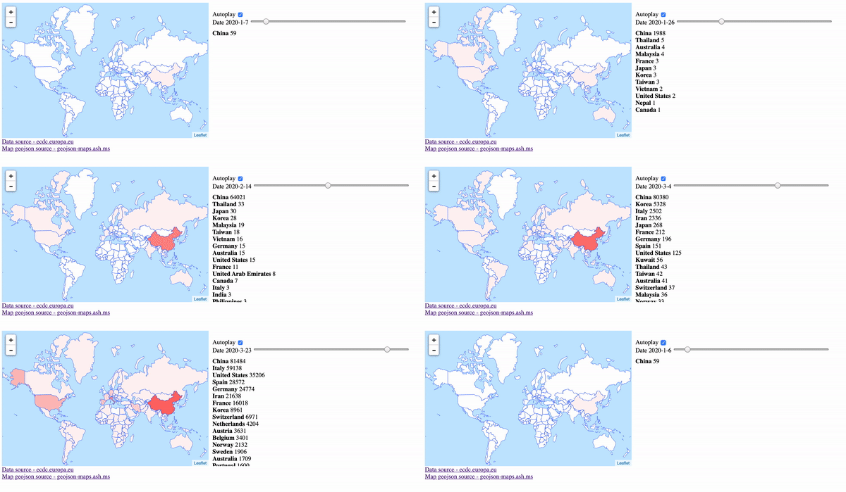
covid disease interactive map that show disease spread based on picked date
| data | ||
| .gitignore | ||
| index.html | ||
| LICENSE | ||
| README.md | ||
| screenshot.gif | ||
Description
Shows disease spread from begginging till today using interactive world map.
Thanks
Leaflet
Data source - ecdc.europa.eu
Map geojson source - geojson-maps.ash.ms
